Your Drone Questions. Answered.
141 episodes — Page 3 of 3

Ep 41YDQA: Ep 41 - "Do I need certification to fly a drone for fun?"
Join John and David as they demystify the need for certification when taking your drone to the skies, whether it's for pure enjoyment or professional endeavors. The duo explores the intricacies of the Federal Aviation Administration's (FAA) rules, shedding light on the registration process and the nuances between flying drones for recreation and commercial purposes.David provides valuable insights into the Trust exam, a crucial step for recreational drone enthusiasts. Discover the basics of this free online course/test, covering essential rules and guidelines. Learn why obtaining a Trust certificate is akin to having a license to fly recreationally, and how it plays a role in ensuring responsible drone operation.For those contemplating the leap into commercial drone use, David delves into the requirements for acquiring a Part 107 certification. Unpack the details of this 60-question test, the study materials involved, and the topics it encompasses, from aviation maps to weather conditions. Gain valuable knowledge on how a Part 107 certification, often dubbed a "drone license," opens up possibilities for flying drones commercially.The conversation doesn't stop there—explore the FAA's regulations, such as maintaining a maximum altitude of 400 feet and steering clear of controlled airspace. Understand the significance of complying with remote ID rules, especially if you're piloting a drone purchased from retailers like Best Buy.David also addresses the importance of requesting access when flying in controlled airspace, offering a comprehensive guide for those venturing into this domain. The duo concludes with a discussion on the periodic recertification process, ensuring drone operators stay updated on the latest regulations every two years.Whether you're a casual hobbyist or contemplating turning your drone passion into a profession, this episode equips you with the knowledge needed to navigate the regulatory skies. Tune in for a thorough exploration of drone certification, and ensure you soar confidently in your drone adventures!
Ep 40YDQA: Ep 40 - "How are drones used in the military?"
Welcome back to Your Drone Questions. Answered! Today, John Dickow from the Drone Launch Academy sits down with Chris Simmons, founder and owner at Dark Horse Unmanned, to discuss the diverse applications of military drones.In this conversation, Chris shares his background, highlighting his military service and involvement with unmanned aircraft systems (UAS). The discussion moves beyond conventional drone uses, exploring their role in Intelligence, Surveillance, and Reconnaissance (ISR), terrain assessment, mapping, force protection, and more.Chris provides insights into the unique characteristics of military drones, emphasizing their militarized nature, robust components, extended endurance, and advanced sensors. Reflecting on a pivotal moment, he recounts meeting the former Secretary of Defense, Ashton, showcasing the critical role drones play in force protection.For those aspiring to join military drone operations, Chris suggests diverse entry points, from Part 107 certification to roles in engineering, logistics, or HR. Looking ahead, he predicts an increased reliance on robotics and drones in military operations, envisioning a future where drones replace human elements on the battlefield.Shifting gears, Chris discusses his entrepreneurial journey, emphasizing the importance of passion, humility, and finding a niche in the market. From pressure washing to crop spraying, he showcases the diverse applications of drones in commercial ventures. Chris offers advice to drone enthusiasts, stressing the significance of networking, staying passionate, and focusing on how drones can serve as tools to address customer needs.Feel free to connect with Chris on LinkedIn and explore more insights into the drone industry. For comprehensive drone education, visit Drone Launch Academy.Join the conversation at YDQA.io or become part of the Drone Launch Connect community. Don't forget to like, share, and subscribe for more in-depth discussions on drones. See you in the sky!
Ep 39YDQA: Ep 39 - "How are drones used in search and rescue?"
Welcome back to Your Drone Questions Answered! In today's episode, John Dickow dives into the fascinating world of using drones in search and rescue operations. Joined by First Lieutenant Martin Lessem from the Massachusetts Wing, DOU, and the Civil Air Patrol in the US Air Force Auxiliary, they unravel the intricacies of this critical application of drone technology.🌐 Guest Introduction: First Lieutenant Martin LessemMeet Martin Lessem, the Director of Operations for Small Unmanned Aerial Systems in the Massachusetts wing of the Civil Air Patrol. With a background in the Coast Guard Auxiliary as a short-range UAS pilot, Martin brings a wealth of experience to shed light on how drones are utilized in search and rescue missions.🔍 Drones in Search and Rescue: Unveiling the CapabilitiesMartin discusses the various ways drones are employed in search and rescue scenarios. Highlighting specific drone models like the Skydio X2D used by both the Coast Guard and Air Force Auxiliary, he delves into their advanced features, including forward-looking infrared cameras. These capabilities prove instrumental in locating missing persons, downed aircraft, or even navigating through challenging terrains.📋 Protocol and Training: Keys to Successful Search and RescueUnderstanding the protocol for deploying drones in search and rescue missions is crucial. Martin explains the process, from receiving a tasking call to obtaining necessary clearances through the National Operations Center. Emphasizing the significance of training, he encourages aspiring drone operators to join organizations like the Civil Air Patrol or Coast Guard Auxiliary for comprehensive training in drone operations.👨✈️ Martin's Journey: From Civil Air Patrol to Drone EnthusiastGet to know Martin's personal journey, spanning over 20 years with the Civil Air Patrol. His reentry during the COVID era led him to a newfound interest in drones, culminating in specialized training on the Skydio X2D at the National Emergency Services Academy.🚀 Advice for Drone Enthusiasts: Building Proficiency Through FlightFor those aspiring to integrate drones into their professions, Martin offers valuable advice. Stressing the importance of flight hours, he recommends continuous practice to enhance precision and control. Becoming a proficient pilot is essential, and Martin shares insights into the specific skills needed for effective search and rescue missions.🌊 Beyond Search and Rescue: Coast Guard's Specialized TrainingDiscover how the Coast Guard's training differs, focusing on search and rescue at sea. Martin outlines the unique challenges faced by the Coast Guard and the strategic use of approved drone models like the X2D and Parrot Anafi.🌪️ Teaser: Post-Storm Infrastructure Damage SurveyIntrigued by drones' versatility, John hints at Martin's involvement in post-storm infrastructure damage surveys. A topic that promises more insights and could be explored in future episodes.🔗 Connect with YDQA and Submit Your QuestionsAs always, your drone-related questions drive our discussions. Submit your queries at YDQA.io or within the Drone Launch Connect community. Your questions fuel the exploration of drone technology, applications, and industry insights.

Ep 38YDQA: Ep 38 - "How can drones be used to help file an insurance claim?"
Welcome back to another episode of Your Drone Questions Answered! In this episode, John Dickow is joined by Bobby Beard, an independent adjuster who uses drones to assist with insurance claims. Bobby shares his journey into the drone industry, starting with his background in flood insurance and transitioning to homeowners' insurance.Discover how Bobby got introduced to using drones during a storm event in Nashville, where he witnessed roofing companies utilizing drones for inspections. Concerned about the dangers of climbing roofs, especially on taller homes, Bobby decided to invest in a drone. Initially without a license, he soon realized the need for one and enrolled in training with Drone Launch Academy.Bobby uses a DJI Air 2S for insurance inspections, capturing detailed imagery of hail and wind damage on roofs. He explains the process of scanning the roof, taking photos, and later analyzing them to identify damages. Safety is a significant advantage of using drones, eliminating the need for risky roof climbing and ensuring efficient inspections.The conversation delves into the specific signs of hail damage, such as circular impacts resembling a volcano, and wind damage, which causes loose and creased shingles. Bobby also highlights the cost savings and safety benefits for insurance companies, emphasizing the convenience and efficiency of drone inspections.John concludes the interview by asking for advice for those interested in integrating drones into their businesses. Bobby encourages learners to explore various opportunities, sharing his own experience of incorporating drone footage into restaurant advertisements and connecting with local professionals in the industry.If you have drone-related questions, submit them at ydqa.io, and don't forget to join the Drone Launch Connect community for further discussions. Stay tuned for more exciting drone insights, and as always, we'll see you in the sky!
Ep 37YDQA: Ep 37 - "How can drones be used to survey storm damage?"
Welcome to another episode of "Your Drone Questions Answered" with John Dickow from Drone Launch Academy. In this episode, the focus is on using drones to survey storm damage, and John is joined by Lou Rue, a retired fire police lieutenant and storm chaser with the National Weather Service.Lou shares his experience of storm chasing over the past 20 years and highlights the challenges faced in traditional damage surveys, especially when dealing with time-sensitive forensics. He emphasizes the need to gather information quickly before it gets contaminated.The conversation delves into the role of drones in storm damage surveys, providing a unique perspective from the air to assess path length, path width, and areas inaccessible from the ground. Lou introduces the SkyBrowse tool for mapping storm damage, showcasing its measurement capabilities for a more accurate analysis.The discussion also touches on the types of drones used, such as the Mavic 3 and Air 2S, each serving different purposes in storm damage assessment. Lou explains the importance of mission planning and the tools required for effective surveying.As the episode concludes, Lou offers advice for those interested in storm surveying, emphasizing the value of building relationships with local National Weather Service offices. He also mentions the potential role of drones in collaborating with news media during storm events.Overall, this episode provides valuable insights into the use of drones in storm damage surveys, showcasing their significance in capturing accurate and timely information.

Ep 36YDQA: Ep 36 - "What are the rules around FAA fines?"
In this episode of Your Drone Questions Answered (YDQA), John Dickow and David Young explore the complex topic of FAA fines for drone-related violations. David, the founder of Drone Launch Academy, provides insights into the FAA's enforcement program and the factors that influence the determination of fines.The FAA's compliance and enforcement program, outlined in FAA Order 2150.3C, serves as a comprehensive guide. David directs viewers to page 201 of the 266-page document, specifically chapter nine titled "Legal Enforcement Action, Sanction Policy," where the details of how violations are assessed are discussed.David highlights that fines are not fixed amounts but depend on various factors, such as the severity of the violation, the intent behind the actions, and the potential danger posed to others. Commercial pilots and flight instructors are held to higher standards than recreational flyers, and the severity of violations is categorized into levels.The penalty ranges are presented in tables, with fines ranging from a minimum to a maximum based on the severity level. For instance, an individual acting as an airman could face fines from $100 to $1,500, while a certified remote pilot might face fines ranging from $1,000 to $13,669.David emphasizes that the FAA's primary goal is aviation safety, and enforcement actions are meant to encourage compliance and educate individuals rather than solely impose penalties. He further touches on specific violations, such as interfering with wildfire suppression, which incurs fines ranging from $15,000 to $20,923 per instance.The discussion also covers the importance of drone registration, with potential civil penalties of up to $27,500 and criminal penalties of up to $250,000 and/or imprisonment for up to three years.While David acknowledges that severe fines are relatively rare and that the FAA aims for education and compliance, he advises drone operators to be aware of the potential consequences and the responsibility that comes with flying unmanned aircraft.For those interested in more detailed information, David recommends exploring the FAA Order 2150.3C document and checking Jonathan Rupert's website for a list of drone enforcement actions.
Ep 35YDQA: Ep 35 - "What are the requirements to fly a drone in Europe?"
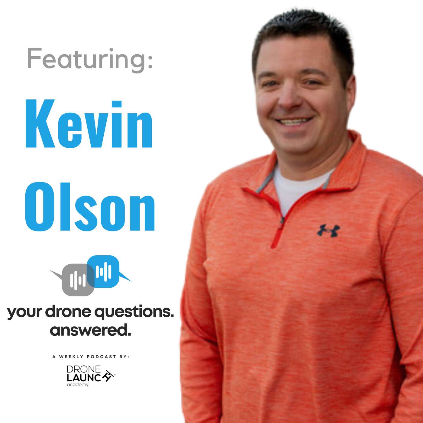
Welcome back to another episode of "Your Drone Questions Answered." In this episode, John Dickow from Drone Launch Academy is joined by Kevin Olson, the owner of Maryland Drone Guy, to discuss the requirements and challenges of flying a drone in Europe. Kevin recently returned from a trip to Europe and shares his firsthand experiences and insights on navigating the European drone regulations.In this informative conversation, Kevin highlights some key differences between flying drones in the United States and Europe. He sheds light on the following topics:Certification and Registration: Kevin emphasizes that having a Part 107 certification in the US doesn't automatically grant you the privilege to fly in Europe. He explains the importance of registering in the country you initially enter and obtaining the necessary certifications.Language Barriers: Language can be a barrier when trying to register and understand the rules in a non-English-speaking European country. Kevin shares his clever workaround for this issue.Drone Weight Restrictions: In Europe, the weight of your drone plays a significant role in the regulations you must adhere to. Kevin discusses the limitations imposed on heavier drones and his solution for ensuring flexibility during his European trip.No-Fly Zones: Kevin shares his experience with blanket no-fly zones in major European cities and how he had to locate specific websites for each country to find out where he could and couldn't fly.Altitude Restrictions: DJI drones in Europe are subject to altitude limitations, which can affect your ability to capture certain shots. Kevin describes his encounter with these altitude restrictions and the impact it had on his aerial photography.Kevin's journey provides valuable lessons for anyone planning to fly a drone in Europe. By listening to this episode, you'll gain a better understanding of the regulatory landscape, learn how to navigate the rules, and ensure a successful drone experience in Europe.Don't forget to submit your drone-related questions to ydqa.io or within the Drone Launch Connect community. We're here to help answer all your drone queries and provide expert guidance. Fly safe, and we'll see you in the sky!
Ep 34YDQA: Ep 34 - "What are the rules and regulations to fly a drone at night?"
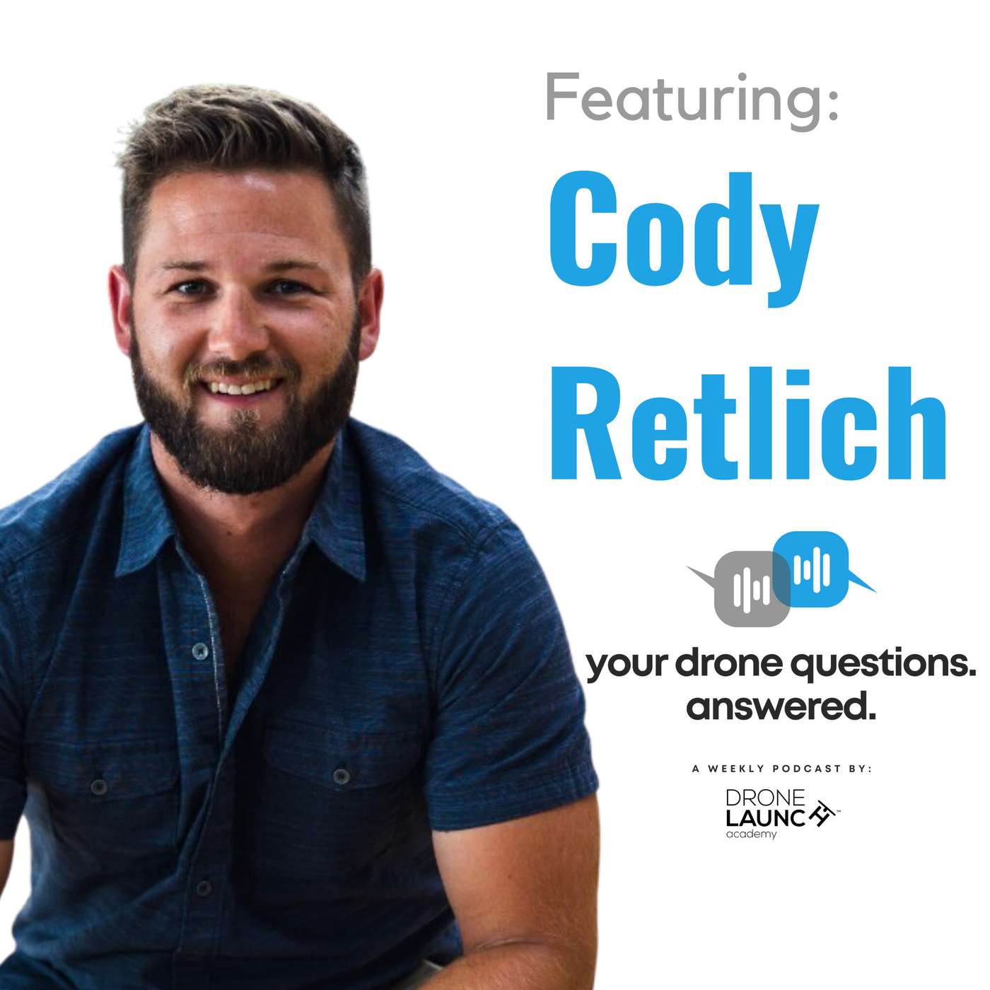
Welcome back to another exciting episode of "Your Drone Questions Answered." In this episode, our host, John Dickow, dives into a crucial topic: the rules and regulations for flying drones at night. He's joined by special guest Cody Retlich, the founder of Drone A Dare and CEO of Midwest Aerial Productions, who provides invaluable insights into nighttime drone operations.In this episode, John and Cody discuss the rules and regulations for flying drones at night. As of 2021, the regulations have changed, allowing both Part 107 and recreational drone pilots to fly at night without a waiver. However, certain requirements must be met, including completing online training and using collision avoidance lighting that is visible up to three statute miles.Cody offers essential tips for flying safely at night, emphasizing the importance of surveying the flight area in daylight to avoid obstacles like guide wires and power lines. He recommends adding additional lights to the drone to illuminate the landing area and make your presence known to others. Additionally, Cody suggests flying at higher altitudes for better obstacle avoidance.For those looking to start a career in drone operations, Cody advises focusing on your strengths and what you enjoy, connecting with fellow drone pilots for collaboration, and seeking out resources and communities like Drone Launch Academy to gain knowledge and experience.
Ep 33YDQA: Ep 33 - "What is the clientele for photogrammetry services when it comes to drone mapping?"
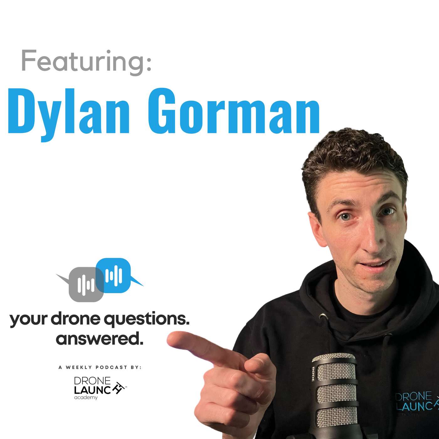
Welcome back to another episode of Your Drone Questions Answered. In this episode, we delve into the world of drone mapping and photogrammetry. John Dickow is joined by Dylan Gorman, a drone expert with over a decade of experience in this field. Dylan shares his insights on the applications and clientele for photogrammetry and mapping services using drones.In this engaging conversation, they discuss the foundational concept of photogrammetry, its applications in various industries, and real-world use cases that highlight the value of drone mapping services. Dylan provides valuable advice for individuals looking to integrate drones into their careers, emphasizing the importance of solving problems and educating clients.If you're interested in learning more about drones and their applications, check out Dylan's YouTube channel and attend his workshops. For a discount on workshop tickets, use the code "DLA25." You can find Dylan's courses and additional resources on his website, www.pilotbyte.com.Don't forget to submit your own questions at ydqa.io or on the Drone Launch Connect community. We look forward to your questions and bringing you more valuable insights in the future. Fly high and stay tuned for the next episode!

Ep 32YDQA: Ep 32 - "What are Temporary Flight Restrictions?"
Welcome to "Your Drone Questions Answered" with John Dickow from Drone Launch Academy. In this episode, we dive into the importance of Temporary Flight Restrictions (TFRs) for drone pilots. David Young, founder of Drone Launch Academy, joins us to explain TFRs, why they're imposed, and how to stay informed.TFRs are airspace areas where all aircraft, including drones, are prohibited. Violating TFRs can lead to serious consequences, as shown by a recent incident. For instance, during a college football game, the FAA imposed a TFR around the stadium. A drone pilot ignored it, causing disruptions, arrests, and potential criminal charges.David explains that TFRs are issued via NOTAMs (Notices to Airmen) by the FAA. Drone pilots can check the FAA's website or use apps like ALOFT or AirMap for TFR information. It's crucial to follow these rules and regulations. Recreational pilots should take the free TRUST certificate test, while those engaged in commercial work should obtain a Remote Pilot Certificate (Part 107).The main lesson: Never fly your drone in a TFR. Stay informed and fly responsibly. Submit your drone questions on YDQA.io for more insights and remember to subscribe for future episodes. See you in the skies!
Ep 31YDQA: Ep 31 - "When is BVLOS going to be widely rolled out in the United States?"
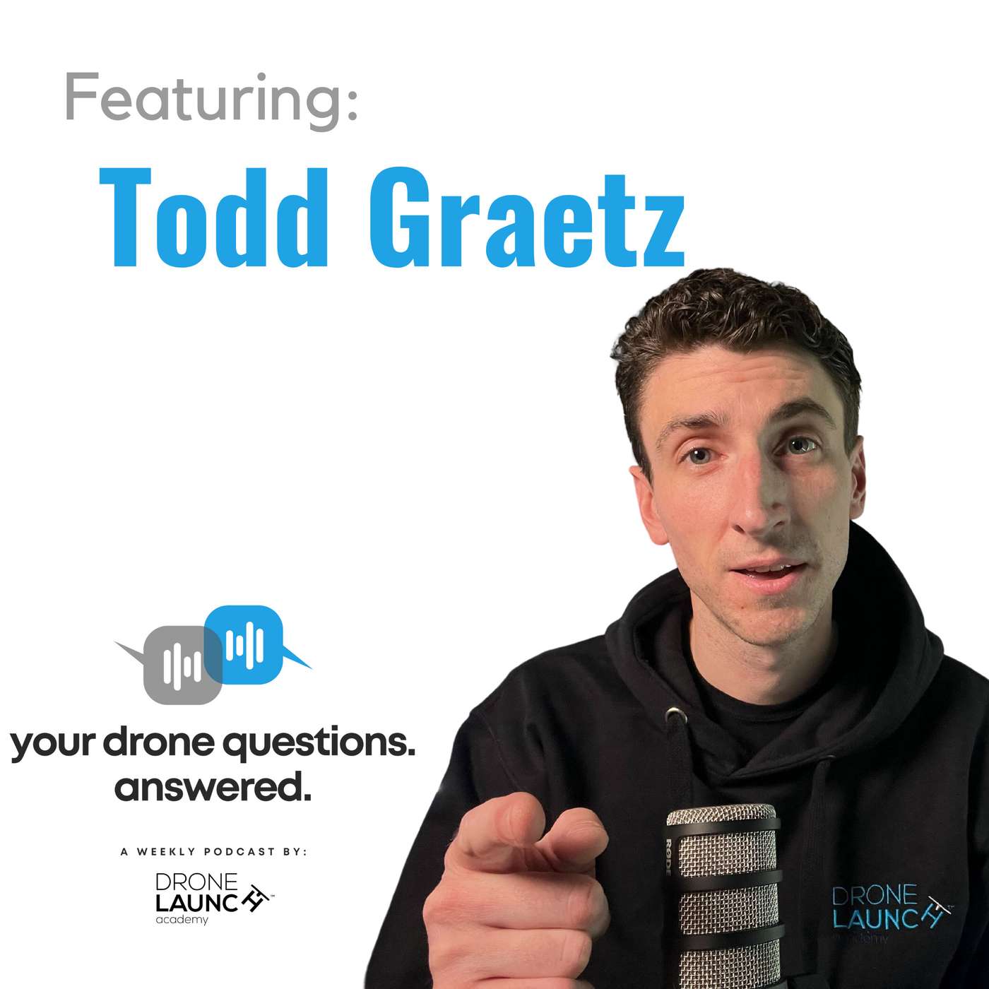
Welcome back to another enlightening episode of Your Drone Questions Answered! In this captivating installment, John Dickow, the host of Drone Launch Academy's informative series, engages in a thought-provoking conversation with Todd Graetz, a prominent figure in the dynamic world of drone technology. Together, they delve into the intricacies of Beyond Visual Line of Sight (BVLOS) operations for drones, offering keen insights into the present state, the challenges that lie ahead, and the potential transformative impact on diverse industries.The topic of BVLOS operations has garnered significant attention over the years, and this episode seeks to unravel the mysteries surrounding its widespread adoption. Todd Graetz, a multi-company regulatory drone pioneer with an impressive track record, is the perfect guest to shed light on this complex subject.Throughout this engaging discussion, Todd provides a comprehensive overview of BVLOS, outlining what it entails and how it can be applied in various contexts. BVLOS, he explains, represents the epitome of scalable drone operations and holds the key to realizing the full potential of drone technology in the United States. From package delivery to agriculture, firefighting, infrastructure inspection, and more, BVLOS has the potential to revolutionize countless industries.Todd's involvement in the drone industry dates back to 2013 when he co-founded BNSF Railway's drone program. BNSF Railway stands as one of the largest BVLOS drone operators in the United States and has collaborated closely with the FAA under a cooperative research agreement since 2015. This vast experience and his current roles on FAA committees and as a board member of AUVSI make Todd Graetz a trusted authority on BVLOS.As the conversation unfolds, Todd delves into the heart of the matter—the current challenges facing BVLOS operations. He emphasizes that the primary hurdle is reaching a consensus between incumbent operators and new entrants regarding the operation of drones below 500 feet in congested airspace. The debate centers on equipping aircraft for electronic visibility, and it's a critical issue that must be resolved for BVLOS to become a reality.Todd's insights highlight the urgency of the situation. He stresses that the United States cannot afford to wait another ten years to make BVLOS a reality. If the industry doesn't swiftly reach an agreement and progress with regulatory development, it risks losing its leadership position to other countries. Moreover, the economic and job opportunities that the domestic drone industry could offer might be squandered.However, Todd also brings optimism to the conversation. He believes that with swift action and cooperation, the industry could witness BVLOS operations taking flight within the next year or two. The implications of this development are enormous, from package deliveries to reduced road congestion, BVLOS has the potential to transform society in myriad ways.For aspiring professionals and drone enthusiasts in the audience, Todd offers invaluable advice. He suggests that individuals interested in a career in the drone industry should choose a specialization—either focusing on the flying aspect of drones or specializing in analytics, data collection, and data dissemination. Those specializing in flying should consider obtaining a private pilot license to gain a deeper understanding of airspace and systems.As Todd Graetz aptly puts it, the future of BVLOS is at our doorstep, and it's an exciting time to be part of the drone industry. Stay tuned to Your Drone Questions Answered for more intriguing discussions on the evolving drone landscape and its limitless possibilities!Don't forget to subscribe to our channel and share this episode with fellow enthusiasts and professionals eager to stay informed about the ever-evolving world of drones. Join us as we explore the skies and uncover the endless potential of drone technology!
Ep 30YDQA: Ep 30 - "How to minimize drone crashes?"
In this episode of "Your Drone Questions. Answered", John Dickow and Dusty Jolley discuss valuable tips and insights on how to avoid or minimize drone crashes. Whether you're a beginner or an experienced pilot, these tips can help you fly your drone safely and confidently. Learn about selecting the right drone, understanding its features, and handling unexpected situations like low battery or loss of connection. Don't let the fear of crashing hold you back from enjoying the world of drones. Join us for this informative discussion and become a more skilled drone pilot today!Key Points Covered:1. Beginner Drones and Investment:Dusty suggests that crashing is almost inevitable as you progress in your drone journey, especially when starting with cheaper drones lacking advanced features like GPS or altitude hold.While it's tempting to go for very low-cost drones, investing a bit more in a reliable beginner drone, such as DJI's Mini series or considering refurbished units, can provide better stability and safety.2. Pre-flight Checklist:Dusty emphasizes the importance of a pre-flight checklist before leaving for a drone adventure. This includes checking battery levels for the drone, remote, and connected devices like tablets or phones.Ensuring all batteries are fully charged prevents unexpected power issues mid-flight.3. Return to Home Feature:The Return to Home (RTH) function is a lifesaver when your drone is in trouble. Dusty advises users to understand how this feature works.He recommends setting the low battery warning to around 25% to ensure you have ample time to initiate RTH if needed.Users can configure RTH to return to the home point or the remote controller, depending on the situation.4. Understanding Your Surroundings:Before taking off, Dusty recommends using tools like Google Earth to get a bird's eye view of your flying location.Identifying potential obstacles such as trees, buildings, or power lines allows you to plan your flight path better.5. Flying with an FPV Drone:Flying with First-Person View (FPV) drones offers unique challenges. Dusty advises having a visual observer to help maintain situational awareness.Visual observers can assist in avoiding obstacles and maintaining safe distances, especially when the pilot's view is restricted to the drone's camera.6. Drone Community and Sharing Experiences:Dusty highlights the benefits of being part of a drone community like Drone Launch Connect, where pilots can share their successes and failures.The "share your fail" space allows pilots to openly discuss and learn from their mistakes, fostering a supportive and educational environment.7. Overcoming Fear of Crashing:Dusty encourages aspiring drone pilots not to let the fear of crashing deter them from pursuing their passion.Learning to fly drones takes time and practice, and crashes are part of the learning process.By following safety guidelines and gaining experience, the fear of crashing can be gradually overcome.In conclusion, flying drones can be an incredibly rewarding hobby or profession, but it comes with its fair share of challenges. By following Dusty's expert advice and continually improving your skills, you can enjoy safer and more enjoyable flights. Don't let the fear of crashing hold you back—embrace it as an opportunity to learn and grow as a drone pilot.

Ep 29YDQA: Ep 29 - "Cheaper alternatives to DroneDeploy and PIX4D"
Welcome back to another episode of "Your Drone Questions Answered"! In today's episode, we answer the question "How can someone get into mapping when DroneDeploy is expensive per month?" To shed light on this, John brings in David Young, the founder of Drone Launch Academy, who shares some insights and alternatives for affordable mapping software.David starts by addressing the rising costs of DroneDeploy and PIX4D and points out that DroneDeploy is now even pricier than before, with an annual subscription costing $6,000 or $600 per month. He suggests that there are alternatives, which might not be as well-known but are more budget-friendly.First, David mentions Maps Made Easy, a California-based company that offers a pay-as-you-go system. You can start small, and as you need more capabilities, purchase credits for processing. Maps Made Easy is a great option for beginners who don't want to break the bank.Next, David introduces Birdi, an Australian company with a similar pay-as-you-go model. Birdie offers affordability and flexibility, making it an excellent choice for those starting out in mapping or looking to save money.David also touches on other alternatives like Reality Capture, primarily for 3D visualizations, and free software tools like Google Earth Pro and QGIS for basic analysis.For students, David highlights the fantastic student pricing offered by PIX4D, making their powerful software much more accessible. Students can get PIX4D Mapper for just $100 per year, a significant discount compared to the regular price.In conclusion, if you're looking for affordable mapping software options, there are alternatives to the pricey DroneDeploy and PIX4D. David's insights provide a roadmap for drone enthusiasts and professionals to find the right solution for their needs.Don't forget to subscribe, like, and share this episode if you found it helpful. If you have your own burning drone questions, submit them at YDQA.io or through the Drone Launch Connect private community. We're here to help you navigate the skies of knowledge!Stay tuned for more insightful episodes, and we'll see you in the sky!
Ep 28YDQA: Ep 28 - "How are drones being used for law enforcement?"
In this episode of "Your Drone Questions Answered" (YDQA), John Dickow engages in a detailed conversation with Jerry Wodka, an experienced law enforcement professional with over 23 years of service. Jerry has also been a drone pilot for more than four years. They explore the multifaceted role of drones in law enforcement and the specific regulations governing their use in the state of Illinois.Jerry Wodka introduces himself and discusses his background in law enforcement, shedding light on his journey from being a police officer to a certified drone pilot. With over two decades of experience in law enforcement, Jerry provides valuable insights into the integration of drones into police operations.The conversation delves into various scenarios where drones prove to be indispensable tools for law enforcement agencies. Jerry highlights the primary use cases, including:Missing Persons Cases: Drones are instrumental in locating missing individuals, whether it's a child who has wandered off or an elderly person in a remote area. The drones equipped with thermal imaging technology are particularly effective in nighttime searches.Search Warrant Execution: When law enforcement obtains a search or arrest warrant, drones can provide critical overwatch during the operation. If a suspect attempts to flee, drones can track and assist in their apprehension.Jerry also emphasizes the importance of adhering to specific limitations and regulations outlined in Illinois law, such as restrictions on random surveillance, personal use, and the prohibition of weaponizing drones. He clarifies that law enforcement drones are equipped with commercially available technology and not specialized military equipment.Furthermore, the discussion covers the drone equipment used by law enforcement, focusing on the DJI Matrice 300, a flagship drone model, and its versatile dual gimbal setup, including the H20T Zenmuse camera and a spotlight accessory. Jerry explains how the spotlight aids in various scenarios, such as illuminating areas of interest during nighttime operations.Transparency and compliance with Part 107 rules are crucial aspects of law enforcement drone operations. Jerry highlights the importance of notifying the local state's attorney's office within 24 hours of a flight, providing transparency to the public and government officials.Jerry shares his journey of getting introduced to drones, starting with a Christmas gift, and how he overcame weather challenges and training commitments to become a skilled drone pilot. He emphasizes the value of practical experience in flying drones and recommends that aspiring pilots get hands-on practice to become proficient.In terms of gaining departmental support for drone initiatives, Jerry mentions that his team at the police department was proactive in launching the program. They gradually expanded their fleet from the DJI Inspire to the Matrice, considering the cost and the need for familiarity among officers. Additionally, they emphasized the importance of Part 107 certification.Jerry concludes the discussion by offering advice to those interested in law enforcement and drones, highlighting the need for a strong foundation in law enforcement before venturing into specialized roles like drone piloting. He encourages individuals to stay informed about Part 107 rules and seek opportunities for further training and education.As this conversation only scratches the surface of the extensive topic of drones in law enforcement, John expresses the intention to bring Jerry back for future discussions to explore more in-depth aspects of drone use within the field.If you have questions or seek more information about drones in law enforcement, you can submit your queries at ydqa.io or within the Drone Launch Connect community. Stay tuned for upcoming episodes that provide valuable insights into the world of drones. See you in the sky!

Ep 27YDQA: Ep 27 - "How are drones being used in photography?"
In this episode of "Your Drone Questions Answered," host John Dickow interviews Kevin Olson, an FAA certified licensed commercial drone pilot and owner of Maryland Drone Guy. They discuss how drones are used in photography and videography. Kevin shares insights into his drone journey and business. He talks about his transition from a drone hobbyist to a professional drone pilot, the drones he uses for his work, and how he sets his pricing structure. Kevin also provides valuable advice for those looking to start their own drone business. Don't miss this informative and inspiring conversation with Kevin Olson, the Maryland Drone Guy.Visit Kevin's website: https://www.marylanddroneguy.com/Submit your drone questions at YDQA.io or through the Drone Launch Connect community.
Ep 26YDQA: Ep 26 - "How to retrofit an older drone to meet remote ID requirements?"
Welcome to another episode of Your Drone Questions Answered! In this episode, John Dickow is joined by David Young, the founder of Drone Launch Academy, to discuss a pressing topic: retrofitting existing drones to meet remote ID requirements.As the deadline for compliance approaches, many drone pilots are wondering how to make their older drones remote ID-ready. David breaks down the essential details and options for retrofitting, as well as the challenges you may encounter in the process.Remote ID is a critical development in drone regulations, aimed at enhancing safety and situational awareness. It involves broadcasting a drone's location, the operator's location, takeoff point, and telemetry data. While it's primarily for law enforcement and safety purposes, some have raised privacy concerns.David discusses various retrofitting options, including plug-and-play modules and electronic boards that require more technical know-how. However, he notes that these options are currently backordered, and availability is limited until October 2023.Stay informed and consider taking steps to ensure compliance with remote ID requirements as they become more prevalent. While enforcement may be lenient initially, it's essential to be prepared.Have your own drone questions? Submit them to us at YDQA.io or join the discussion in the Drone Launch Connect community.Don't forget to like, share, and subscribe for more valuable insights into the world of drones. Fly safe, and we'll see you in the sky!
Ep 25YDQA: Ep 25 - "What is LiDar drone technology and how is it applied?"
In this episode, John Dickow of Drone Launch Academy is joined by Jackson Rector, a drone pilot and lidar technician from Wiser Consultants, to talk about Lidar Drone technology. They delve into how it works, its applications, and its significance in various industries.🌐 Connect with Jackson Rector and Wiser Consultants:Jackson Rector: Drone pilot at Wiser ConsultantsWebsite: www.wiserconsultants.com🔍 What's Inside:Jackson Rector's Role at Wiser ConsultantsJackson explains his role as a drone pilot and lidar technician at Wiser Consultants, giving us insight into the behind-the-scenes work that goes into aerial data collection and processing.Lidar Technology ExplainedJackson demystifies the term "lidar," which stands for Light Detection and Ranging. He breaks down how this technology works by emitting laser light points, measuring their return times and distances to create detailed maps and models.Lidar on Drones vs Other PlatformsJohn and Jackson discuss how lidar technology functions across different platforms, including drones, vehicles, and smartphones, highlighting the varied applications and advantages of each.Applications of Lidar TechnologyJackson delves into the diverse applications of lidar technology, focusing on its use in mapping and surveying. He shares examples of projects involving roadways, intersections, and infrastructure improvements, emphasizing the ability to create accurate 3D models.Advice for Aspiring Drone ProfessionalsJackson offers invaluable advice to newcomers in the drone industry, stressing the importance of obtaining a Part 107 certification, honing manual flying skills, and being open to learning various aspects of the field.🛰️ Stay Connected:Stay tuned for more enlightening episodes of Your Drone Questions Answered! Submit your own questions at ydqa.io or through the Drone Launch Connect private community.

Ep 24YDQA: Ep 24 - "Can you fly a drone in New York City?"
In this episode of Your Drone Questions Answered, join host John Dickow and David Young, founder of Drone Launch Academy, as they dive into the latest updates on flying drones in the bustling metropolis of New York City. The question of the day: Can you fly a drone in New York City? The answer has changed as of July 2023. Tune in to discover the steps, rules, and regulations you need to follow to legally operate your drone within the city that never sleeps.Have a question about drone regulations, technology, or operations? Submit your questions to ydqa.io or join the Drone Launch Connect community. Stay informed, fly responsibly, and keep exploring the skies legally!🔗 Links Mentioned:NYC Drone PermitsAloft App🔔 Don't forget to follow for more drone-related insights, answers, and updates. Leave your thoughts and questions in the comments below. Fly safe and see you in the next episode of Your Drone Questions Answered! 🛩️
Ep 23YDQA: Ep 23 - "How drones are used in commercial video production?"
Welcome to another episode of "Your Drone Questions Answered"! In this installment, host John Dickow sits down with David Beedy, founder and video producer of beedymedia.com, to explore the intriguing world of using drones for video production. As they discuss the various applications of drones in video production, David shares his journey from a background in news reporting to establishing his own video production business.Throughout the conversation, David elaborates on how drones have revolutionized the field of video production, allowing creators to capture stunning aerial shots that enhance the storytelling experience. He reminisces about his initial experiences with drones, including a humorous mishap, and shares his decision to invest in high-quality drones like the DJI Mavic 2 Zoom and the DJI Air 3 to ensure top-notch footage.With insights into his diverse video production projects, David showcases his versatility, whether he's working with associations, non-profit organizations, or covering construction projects. He highlights the significance of drone shots in elevating the production value of videos and demonstrates how these shots add a captivating visual dimension to his work.If you're curious about the impact of drones on video production, tips for integrating drones into your business, or simply interested in the creative possibilities of aerial videography, this episode is a must-watch. Join John and David as they delve into the exciting realm of using drones for video production, sharing stories, insights, and expert advice.Don't forget to submit your drone-related questions to ydqa.io or join the Drone Launch Connect community for more engaging discussions. Stay tuned for more fascinating insights and answers to your burning drone questions. See you in the sky!
Ep 22YDQA: Ep 22 - "What's the difference between an FPV drone and a traditional drone?"
Welcome back to another exciting episode of "Your Drone Questions Answered"! In this episode, John Dickow talked with Dusty Jolley, the Community Manager at Drone Launch Academy, to delve into the world of FPV (First Person View) drones. Dusty provides a comprehensive breakdown of what FPV drones are and how they differ from traditional drones.Dusty explains that FPV drones offer a unique perspective by allowing pilots to experience flight through immersive goggles, which display the drone's camera view. Unlike traditional drones that are controlled line-of-sight, FPV drones require pilots to wear specialized goggles, enabling them to navigate with precision. Dusty further elaborates on the differences between FPV drones and regular drones, highlighting the manual control aspect of FPV flying, which demands constant input from the pilot.The conversation continues to explore the various applications of FPV drones beyond racing. Dusty discusses how FPV drones are utilized in capturing dynamic shots, creating engaging content, and even making appearances in movies and live events. He also emphasizes the importance of practice and simulation before taking to the skies with an FPV drone.Throughout the discussion, Dusty provides valuable insights and practical tips for those interested in diving into the exhilarating world of FPV drones. From choosing the right equipment to the thrill of building your own drone, Dusty's expertise shines through.Whether you're a seasoned drone enthusiast or someone curious about FPV drones, this episode offers a wealth of information and advice to help you explore the exciting world of First Person View flying. Don't miss out on this engaging conversation that's sure to spark your interest and provide a fresh perspective on drone technology.Remember to submit your drone questions on ydqa.io and stay tuned for more enlightening episodes of "Your Drone Questions Answered."
Ep 21YDQA: Ep 21 - "Do I need to purchase an NDVI Sensor to map crop health?"
In this episode of Your Drone Questions Answered (Episode 21), we delve into the world of mapping and processing crop and plant health using drones. Our guest, Matt Donovan, CEO of Agriculture Intelligence Inc. and Chief Product Officer of AgroView.ai, shares valuable insights and expertise.The question at hand is whether a standard RGB camera on a drone is sufficient for crop and plant health mapping or if an NDVI sensor is needed. Matt explains that while an RGB collection can offer some indications of crop leaf density and greenness, an NDVI analysis typically requires a multispectral collection with a five-band sensor, including RGB, near-infrared, and Red Edge.To ensure the best practices for crop health mapping, it's essential to understand wide-scale data collection and choose the right drone specifications for efficient results. Drones play a vital role in large-scale growing operations, providing accurate data analysis.When it comes to choosing the right drone, it depends on the payload and desired outcomes. Popular US drones with longer range capabilities are available, but payload compatibility is crucial.Don't forget to submit your drone questions on YDQA.io or join the Drone Launch Connect community for more discussions on the exciting world of drones. Stay tuned for more episodes of Your Drone Questions Answered!
Ep 20YDQA: Ep 20 - "What are good alternatives to DJI drones?"
In this episode, John Dickow is joined by Sally French, the renowned Drone Girl from thedronegirl.com, to discuss the question: What are the good alternatives to DJI drones? They dive into the reasons people seek alternatives, including patriotism, anti-China sentiment, and a desire to stand out from the crowd. However, finding viable alternatives proves to be challenging, particularly for budget-conscious consumers.Sally sheds light on the limited options available, especially in the sub-$2,000 range, where DJI reigns supreme. She recommends the Skydio 2 drone as an excellent option, but cautions that it might currently be out of stock. Moreover, for those with a higher budget, the Sony Air Peak Drone and Skyfish Drone provide great alternatives for professional photographers using Sony Alpha cameras.The discussion explores the dominance of DJI in the consumer drone market and the struggles faced by other companies attempting to compete. While some American companies produce enterprise-level drones, consumer-level alternatives remain scarce due to production costs and infrastructure limitations.As the conversation unfolds, they reflect on the possibility of emerging technologies from the commercial sector eventually making their way to consumers, akin to the evolution of computers. The future of the drone industry remains an intriguing subject, entangled with technological advancements, politics, and legislation.For more insightful articles and drone tips, visit Sally French's website, thedronegirl.com. If you have any drone-related queries, submit them at ydqa.io or through the Drone Launch Connect community.
Ep 19YDQA: Ep 19 - "When setting up a drone business, do you need to have a business checking account?"
In this episode of Your Drone Questions Answered, John Dickow and David Young from Drone Launch Academy discuss an important topic for aspiring drone business owners. The question submitted by Rob is whether it's necessary to have a business checking account or if clients can simply write checks directly to the operator. David Young shares his expertise and explains the benefits of setting up a separate entity, such as a limited liability company (LLC), and having a dedicated business checking account. He discusses the implications for taxes, liability protection, and the importance of keeping personal and business finances separate. They also explore the option of a fictitious name for those who want a separate account without forming an official LLC. If you're considering starting a drone business or any other type of business, this episode provides valuable insights and advice.Don't miss out on the latest drone-related discussions and questions. Join the Drone Launch Academy Private Community, Drone Launch Connect, and submit your own questions for future episodes. You can also visit ydqa.io to submit questions and access helpful resources. Stay tuned for more episodes and remember, we'll see you in the sky! https://courses.dronelaunchacademy.com/
Ep 18YDQA: Ep 18 - "What is the best mapping software to use for drones?"
In this episode of Your Drone Questions Answered, join host John Dickow and special guest Michael Lilley, a chief pilot and mapping expert, as they dive into the world of drone mapping software. Discover the best mapping software to use for drones and gain insights into its various applications.Michael Lilley shares his expertise as a drone pilot, working both for a construction company and independently. He highlights the importance of drone mapping in various scenarios, including coastal surveys, land monitoring, and construction site progress reports. By capturing aerial images and creating ortho rectified photos, mapping software allows for accurate documentation and comparison over time.When it comes to drone mapping software, Michael recommends DroneDeploy and Pix4D. He explains how DroneDeploy, a user-friendly desktop-based software, enables him to retain control of his data and generate precise maps. Pix4D, on the other hand, offers the granularity he needs to mark ground control points accurately, ensuring top-level accuracy in his mapping projects.John and Michael discuss the simplicity of getting started with DroneDeploy, as it only requires uploading photos to the software. They also share a humorous encounter involving Michael's distinctive beard that led to a chance meeting with David Young, the founder of Drone Launch Academy.Don't miss this informative and entertaining episode where you'll gain valuable insights into the best mapping software for your drone projects. Subscribe to Your Drone Questions Answered for more expert advice and answers to your burning drone-related questions.

Ep 17YDQA: Ep 17 - "How are drones used for cell tower inspections?"
In this episode of "Your Drone Questions Answered" David Young, founder of Drone Launch Academy, discusses the use of drones for cell tower inspections. He is joined by Sam McGuire from Field Sync, an expert in the field. They dive into the topic and provide valuable insights on how drones are revolutionizing cell tower inspections.Sam shares his background experience with drones and cell towers, highlighting the opportunities that arise from integrating traditional workforce with drone technology. They discuss the evolution of the market and the importance of tailoring workflows to gather and analyze data effectively.In the early days, tower inspections were limited to the perspective of climbers and involved manual assessments of equipment, connections, and potential safety hazards. However, with the introduction of drones, the process has become more efficient and safer. Drones provide a comprehensive 360-degree view of the tower, allowing for detailed analysis and identification of issues such as loose connections, damaged structures, or safety system deficiencies.The discussion delves into the concept of a digital twin, where drones capture high-quality visual data that can be used for 2D visual assessments or to create a complete digital representation of the tower. This digital twin approach enables advanced analytics and detailed reporting for a better understanding of the tower's condition and maintenance needs.Sam emphasizes the importance of compliance with network operators' requirements, insurance coverage, and necessary documentation when conducting cell tower inspections. He also mentions the availability of software tools like DroneDeploy and Pix4D, which offer tower-specific options for processing the collected data and generating accurate digital representations.If you're interested in learning more about drones and cell tower inspections, this episode provides a wealth of information and practical insights from industry experts. Information on TIA 222- https://natehome.com/regulations-standards/standards/tia-222-g/
Ep 16YDQA: Ep 16 - "What are cut and fill calculations and how do you do them?"
Welcome back to another exciting episode of Your Drone Questions Answered! In this episode, our host John Dickow is joined by Ted Strazimiri, the founder of Sky Deploy UAS, a leading drone service provider. They delve into the topic of cut and fill calculations and explore how drones revolutionize this process.Ted shares his journey of starting Sky Deploy in 2017, driven by his passion for photography, aviation, and technology. Despite lacking a background in surveying, Ted leveraged available resources to teach himself the art of cut and fill calculations. He emphasizes the importance of gaining hands-on experience and focusing on the value of the data collected by drones.Throughout the conversation, Ted highlights the versatility of drones as a tool for various applications. From counting cars in parking lots to volume calculations for piles of sand or rocks, drones offer a unique perspective and aid in inspections. Ted's expertise lies in using photogrammetry, a technique that generates a point cloud and extracts measurements such as volume.In the traditional method, surveyors manually collect points using poles and high-accuracy GPS receivers. However, drones equipped with photogrammetry software offer a faster and more precise alternative. Ted explains how images captured by drones are processed using software like Pix4D Mapper, Open Drone Map (ODM), or DroneDeploy to create 3D models of the area of interest.The video concludes with Ted recommending tools like Pix4D Mapper and DroneDeploy, which have built-in measurement capabilities, as well as platforms like nera.app for visualizing and measuring 3D models generated from drone data.Join us for this informative episode as we explore the fascinating world of cut and fill calculations with drones. Don't miss out on the valuable insights and practical tips shared by Ted Strazimiri, a true expert in the field of drone technology!
Ep 15YDQA: Ep 15 - "How are drones being used to help the solar install process?"
The latest episode of the "Your Drone Questions. Answered" podcast is out! In this episode, our guest Sinuhe Montoya from Drone Quote joins David Young to discuss how drones are being used to revolutionize the solar installation process. They also dive into the inspection of existing solar panels using thermal equipment.Sinuhe Montoya, with over 10 years of experience in the residential solar and roofing industry, shares his insights on how drones have made a significant impact on data acquisition and overall efficiency. By using drones, he was able to gather the necessary information quickly and safely, resulting in improved sales. Sinuhe explains the typical process of installing solar panels on residential and commercial properties and highlights the challenges faced before drones became widely used.The conversation explores the advantages of using drones over satellite imagery, such as the ability to obtain up-to-date and high-resolution data. Sinuhe breaks down the process of collecting the required data using drones, which goes beyond simply taking pictures. He explains how the images are transformed into an ortho map, enabling detailed analysis and measurements. This information is then imported into design software, like Aurora, to calculate the impact of shade obstructions and determine the suitability of a roof for solar panels.Additionally, Sinuhe emphasizes the value of using drones for sales purposes. By inspecting the entire neighborhood from an aerial perspective, opportunities for solar installations can be identified more effectively. The conversation concludes with a brief discussion on thermal equipment for solar panel inspections, highlighting how temperature differences can indicate the health of individual cells or entire panels.Don't miss this informative episode that sheds light on the exciting role of drones in the solar industry! Subscribe to the Your Drone Questions Answered podcast for more insightful discussions and stay up to date with the latest advancements in drone technology.
Ep 14YDQA: Ep 14 - "How are drones used to support environmental initiatives?"
Welcome back to another episode of "Your Drone Questions. Answered"! In this episode we interview our expert guest Glenn Dickow, a citizen member of the Town of Delavan Lake Committee in southern Wisconsin and a lake quality advocate. His mission is to address the water quality issues facing Lake Delavan and educate others who love the lake.In this episode, we explore how drones are used to support environmental initiatives, focusing specifically on Glenn's work with Lake Delavan. The drone provides a unique and new perspective for lake property owners and boaters, allowing them to see the lake from a different angle.Glenn explains that water quality is measured based on factors such as clarity and phosphorus levels. Excessive phosphorus from surrounding farmland can lead to the growth of plants and algae, eventually harming the lake ecosystem. To address this issue, Glenn highlights the importance of maintaining the ponds that filter out the phosphorus-laden sediment. He uses his drone to capture footage of the ponds and the dredging process, providing visual insights to lake lovers and stakeholders.Glenn shares his experience with the DJI Mini 3 Pro drone, which he finds easy to use, even as a novice. The drone's safety features, such as returning home when the battery is low or out of sight, alleviate concerns about accidents. He plans to take a certification course to ensure responsible drone piloting near private airports and looks forward to exploring other sections of the lake to create informative videos.We conclude the episode by discussing the advice Glenn has for beginners interested in using drones for environmental initiatives. He emphasizes the importance of passion and using drones as a unique storytelling tool to convey messages effectively. Taking the initiative and fearlessly trying it out are key to success.

Ep 13YDQA: Ep 13 - "How do I promote my drone business while working a 40 hour job?"
Welcome to the "Your Drone Questions Answered" podcast, where we explore the exciting world of drones and entrepreneurship! In this episode, we delve into the topic of successfully managing a drone business while juggling a full-time job. The host John Dickow interviews David Young, the founder of Drone Launch Academy, who shares his experience and insights on promoting a drone business while working a full-time job. David explains how he managed to juggle his 40-hour job as a forensic accountant while starting Drone Launch Academy. He emphasizes the importance of prioritizing oneself and utilizing the most energetic and clear hours of the day for personal business endeavors. David advises listeners to choose a niche and attend industry events to connect with potential clients. He also recommends creating an online presence through a website, Google Business, and starting a podcast or blog to establish credibility and attract customers. He encourages persistence and highlights the importance of not giving up too soon, as success often comes after overcoming initial challengesThis podcast episode is a treasure trove of information for anyone looking to turn their passion for drones into a profitable venture. You'll gain inspiration, learn from real-life experiences, and discover effective ways to make the most of your limited time.
Ep 12YDQA: Ep 12 - "How are drones being used for inspections?"
In this episode, John Dickow interviews Jason Koonce, owner of 107 Technologies, who specializes in aerial inspections using drones. Jason shares his expertise in using drones for home inspections and explains the valuable applications and tools he utilizes.With his 3D thermal models, Jason can detect moisture and identify energy loss, crucial factors in maintaining a safe and efficient home. By visually demonstrating the issues and explaining them to homeowners, he ensures they understand the problems and can find the right solutions.Discover how drones revolutionize the inspection process and provide unparalleled insights that traditional methods cannot match. Jason recounts a fascinating case where he discovered an airflow problem in a house with multiple roof angles. Despite the homeowner's attempt to improve ventilation by adding turbines, the thermal drone revealed that the airflow was still inefficient. This valuable information helped the homeowner identify the correct solution and avoid unnecessary expenses.Jason shares the advantages of using drones for inspections, such as increased safety, reduced damage to roofs, and faster data collection. He uses the DJI Mavic 3 Enterprise Thermal drone with infrared and 3D features, allowing him to provide comprehensive and accurate thermal envelope data to clients.Moreover, Jason demonstrates the mapping capabilities of drones, using elevation data to analyze water runoff and prevent erosion. He highlights the importance of finding the real value in your drone services and emphasizes the need to solve problems rather than just flying a drone.If you're interested in finding your own niche in the drone industry or seeking inspiration for innovative drone applications, this episode is a must! Learn from Jason's expertise, dedication, and practical advice to make your mark in the world of drone inspections.

Ep 11YDQA: Ep 11 - "How to get centimeter level accuracy with your drone?"
In this episode of "Your Drone Questions. Answered", host John Dickow delves into the fascinating world of centimeter accuracy with drones. Joined by Greg Gradwell, a software engineer at Pyka, they explore the complexities and benefits of achieving precise positioning with drones. Greg shares insights on the limitations of traditional GPS systems and how centimeter-level accuracy can be crucial in various industries like surveying and precision agriculture. They discuss the use of RTK (Real-Time Kinematic) and PPK (Post-Process Kinematic) methods to enhance accuracy, as well as the role of base stations and GPS receivers like the ZED-F9P. Discover the magic behind achieving centimeter accuracy with drones and how it's revolutionizing the field.
Ep 10YDQA: Ep 10 - "When does remote ID become mandatory and will it damage the drone business/hobby?"
In this episode of "Your Drone Questions Answered," host John Dickow is joined by Miriam McNabb, editor of dronelife.com, to discuss the topic of remote ID. They talk about the purpose of remote ID, its importance for safety, and its implementation timeline. Miriam sheds light on the potential impact of remote ID on both the drone business and hobbyists. They address concerns regarding compliance for recreational flyers and the benefits of remote ID for advanced drone operations. Tune in to learn more about this critical component of drone integration and how it will shape the future of the industry.
Ep 9YDQA: Ep 9 - "What gear do I need to start out in real estate photography?"
In this new episode of "Your Drone Questions. Answered", John Dickow and Dominic Wilkerson discuss the essentials of getting started in real estate photography. Dominic talks about how he started with photo, video, drone, and 3D, and built his business into a one-stop-shop. He also shares with us his favorite gear and what equipment is needed to get started with real estate photography. Make sure to listen to this episode if you are also interested in using drones in real estate.
Ep 8YDQA: Ep 8 - "What license do I need to make money with my drone?"
In this episode of "Your Drone Questions. Answered", John Dickow is joined by Kara Murphy, a commercial drone pilot, photographer, writer, and contributing writer for DP Review. The episode covers the question of what license is needed to make money with a drone. Kara mentions that to make money with a drone, one needs to pass the Part 107 Exam, which enables flying for profit.Failure to obtain the certification can result in fines of over $30,000 per violation. The exam is not something one can cram for, and passing it requires knowledge, which needs to always be improving. Kara also discusses the difference between the Part 107 exam and the recurrent exam, which pilots need to take every two years.
Ep 7YDQA: Ep 7 - "What is the best beginner drone to get started?"
In this podcast episode, Sally French, also known as the Drone Girl, answers questions about drones for beginners. She recommends starting with a cheap "trash drone" for practice before investing in a higher quality drones. Sally emphasizes the importance of balancing cost and safety features when buying a drone and recommends DJI drones as they are easy and safe to fly. She advises beginners to be realistic about their intended use for the drone and to consider factors like video quality and whether they want to start with a toy drone for practice.
Ep 6YDQA: Ep 6 - "How do I register my drone for recreational use after taking the TRUST exam?"
In this podcast episode, the host of "Your Drone Questions. Answered." John Dickow interviews Garey Scott, CEO and pilot of Scott Airborne Imagery, about how to register a drone for recreational use after passing the Trust Exam. Garey explains the importance of passing the exam and registering a drone, detailing the steps to register and the consequences of not doing so. He talks about the benefits of having a registration number for the drone. The conversation ends with Garey encouraging listeners to enjoy flying their drones and the unique perspective it provides.
Ep 5YDQA: Ep 5 - "How are drones being used in agriculture?"
In this episode of "Your Drone Questions. Answered.", our host John discusses the use of drones in agriculture with Grant Puckrin, founder and head pilot of 19th UAS Precision. They explore the benefits of using drones for mapping, crop health analysis, stand counts, and spraying, and how they can reduce costs and increase yield. Grant shares his experience using DJI Phantom 4 RTK for crop health analysis and DJI T30 for spraying. They also discuss the potential of AI in agriculture and how it can be incorporated into ground sprayers. Overall, the episode provides valuable insights into the benefits of using drones in agriculture and their potential for the future.
Ep 4YDQA: Ep 4 - What is the hardest question on the FAA drone exam?
In this episode of "Your Drone Questions Answered," CEO and Founder of Drone Launch Academy, David Young, joins host John Dickow to answer the question: What is the hardest question on the Part 107 test? David shares insights from the tens of thousands of people who have taken the exam, revealing that the most commonly missed question deals with airspace and reading sectional charts. He breaks down a sample question and provides tips for preparing for the exam, including a free PDF resource. Young also emphasizes the importance of understanding the drone industry beyond just flying, and finding a niche to provide value-added services.Don't miss out on this informative episode, and submit your own drone questions to https://ydqa.io.PDF Referenced in Video: Download Here
Ep 3YDQA: Ep 3 - How do I get started with FPV drones?
Dusty Jolly, the community manager for Drone Launch Connect, provides a step-by-step guide on how to get started in building and flying FPV drones in this podcast episode. To begin with, he recommends starting with a remote that works with a simulator to understand what it feels like to fly an FPV drone before investing in one. When it comes to building an FPV drone, Dusty suggests starting with a carbon fiber frame and a DJI FPV remote. He explains the importance of choosing the right transmitter and flight controller and recommends going digital when it comes to the receiver. In addition, Dusty discusses the cost of building an FPV drone, estimating that building a three-inch drone can cost between $350 to $400. With his expert guidance, you can be sure to have a smooth and successful start in the world of FPV drone building and flying.
Ep 2YDQA: Ep 2 - How are drones being used in the construction industry?
If you want to know about drones and construction, this video is for you. Construction veteran, Grant Hagen, joins us on this episode of "Your Drone Questions. Answered." to tell us about all of the way drones are benefiting the construction industry.
Ep 1YDQA: Ep 1 - What is "Your Drone Questions. Answered."?
Hey there, and welcome to the very first episode of "Your Drone Questions. Answered."! In this episode, we'll let you know what our podcast is all about and what you can look forward to in the episodes to come.We're all about diving into the world of drones and bringing you expert advice and answers to all those questions you've got about this amazing tech. So, whether you're a drone enthusiast, professional, or just plain curious, "Your Drone Questions. Answered." is your go-to place for everything drones. Stay tuned for a bunch of fun and informative episodes that'll take your drone knowledge to new heights!