Season 2 · Episode 1974
Mapping the Bible's Borders: From Sinai to the Euphrates
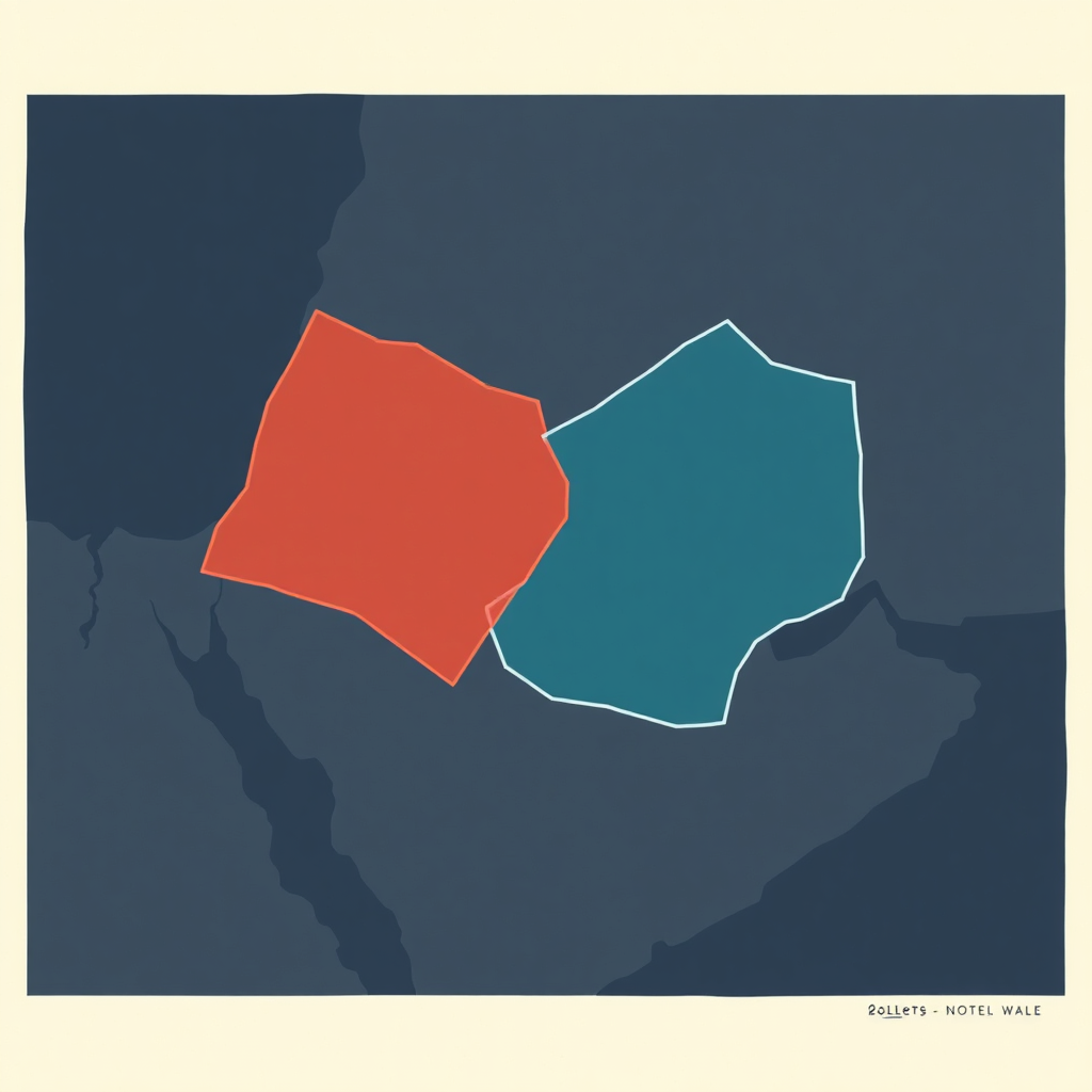
Using satellite maps and ancient texts, we trace the shifting boundaries of the biblical Land of Israel from the River of Egypt to the Euphrates.
My Weird Prompts · Daniel Rosehill
April 4, 202621m 4s
Audio is streamed directly from the publisher (dts.podtrac.com) as published in their RSS feed. Play Podcasts does not host this file. Rights-holders can request removal through the copyright & takedown page.
Show Notes
From the "River of Egypt" to the Euphrates, the Bible describes a vast territory. But what does that actually look like on a modern map? In this episode, we use satellite imagery and GIS overlays to compare the biblical boundaries of the Land of Israel—from Genesis to Numbers—with today's political borders. We explore how ancient topographical descriptions, like Wadi El-Arish and Lebo-Hamath, reveal a vision of the land that is both expansive and deeply rooted in geography.