weedSAT: how satellite imagery is being used to pinpoint weeds
In this episode, Tim Neale from DataFarming explains a new precision ag tool, weedSAT
Audio is streamed directly from the publisher (traffic.megaphone.fm) as published in their RSS feed. Play Podcasts does not host this file. Rights-holders can request removal through the copyright & takedown page.
Show Notes
In this episode, Tim Neale from DataFarming explains a new precision ag tool, weedSAT. WeedSAT is a satellite-powered weed detection tool developed with investment from GRDC through the Grain Automate initiative. It uses high-resolution commercial satellite imagery to identify larger, hard-to-kill weeds across broadacre paddocks. This enables targeted spraying using existing boom spray section control systems before growers even enter the field. We also hear from Precision Ag consultant Bindi Isbister, who has been trialling the technology with Western Australian growers with good success.
Contacts:
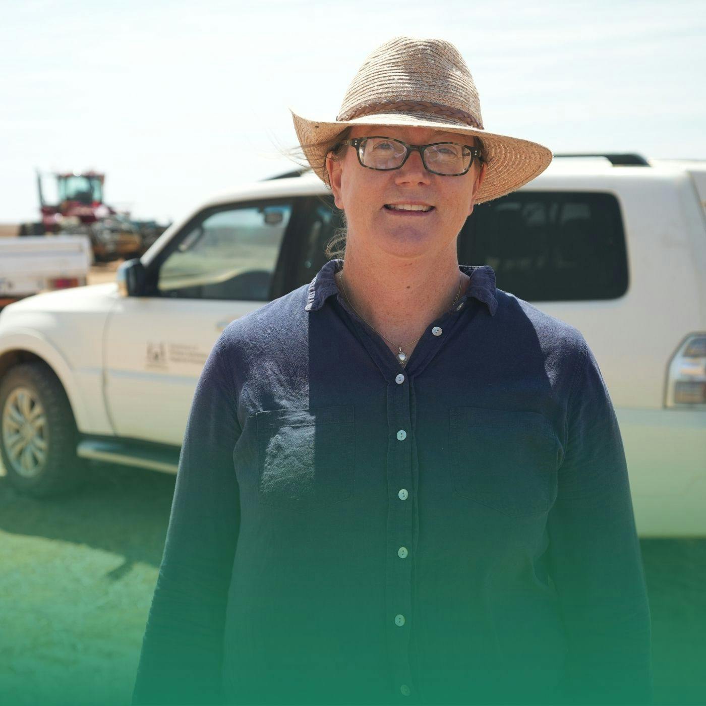
Tim Neale
Datafarming
Bindi Isbister
Agrarian Management
More Information:
Satellites deployed to pintpoint summer weeds
Project Investment Code:
Learn more about your ad choices. Visit megaphone.fm/adchoices